
8-Day Margherita Peak Trek — Central Circuit
8 daysCentral CircuitMargherita PeakGlacier travel required
- Days
- 8
- Route
- Central Circuit
- Start / end
- Nyakalengija
- Summit
- Margherita Peak
- Max altitude
- 5,109 m
- Glacier travel
- Required, final section
- Price from
- On enquiry
Overview
The classic summit route, and the shorter of the two ways to Africa's third highest point. Less time to acclimatise than the Kilembe itinerary, which is the trade-off to weigh.
Where it reaches
Montane forest, Bamboo, Heather & moorland, Afro-alpine, Nival — rock, snow and ice
Elevation profile
Day by day
About these altitudes
Camp altitudes on the Central Circuit are the figures in general use on this route. Treat them as indicative rather than surveyed — a metre either way makes no difference to how the day feels. Walking times vary too much between groups to be worth publishing; your guide will pace each day to your party. Summit-day timing and the exact state of the fixed ropes and glacier crossing change season to season — see our trail conditions page for the most current first-hand report before you travel.
- Day 1Nyakalengija → Nyabitaba HutMontane forest
1,650 m → 2,651 m
Steady climb through montane forest along the Mubuku valley. Mud from early on; the first clear view back down the valley from the ridge at Nyabitaba.
- Day 2Nyabitaba Hut → John Matte HutHeather & moorland
2,651 m → 3,505 m
A brief descent to cross the Mubuku and Bujuku rivers, then climbing into bamboo and heather. Giant heathers hung with lichen begin here, and so does the bog.
- Day 3John Matte Hut → Bujuku HutAfro-alpine
3,505 m → 3,962 m
Through the Bigo Bog — one of the more sustained wet sections on this route — and past Lake Bujuku, with Mounts Stanley, Speke and Baker visible together on a clear day from the valley floor.
- Day 4Bujuku Hut → Elena HutAfro-alpine
3,962 m → 4,541 m
A short but steep climb to the base camp for the summit attempt, deep in the afro-alpine zone. The first sight of glaciated ground comes into view on this leg.
- Day 5Elena Hut → Margherita Peak and back to Elena HutNival — rock, snow and ice
4,541 m → 5,109 m
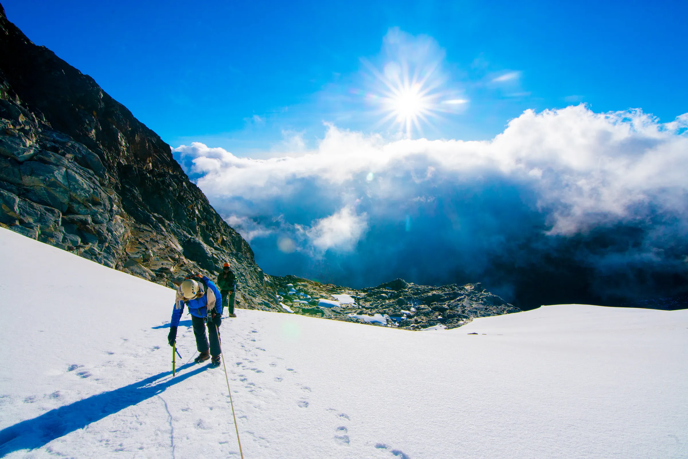
Summit day. An early, often pre-dawn start onto rock and then glacier, with crampons, harness and rope required for the final section. Weather governs the final call — see our safety page for how that decision is made — before returning to Elena Hut the same day.
- Day 6Elena Hut → Kitandara HutAfro-alpine
4,541 m → 4,023 m
Descending toward Kitandara, past its lakes, with the pace noticeably easier now the summit push is behind you.
- Day 7Kitandara Hut → Guy Yeoman Hut, via NyabitabaHeather & moorland
4,023 m → 3,505 m
A long descent day, dropping back through the heather zone toward the lower huts.
- Day 8Guy Yeoman Hut → NyakalengijaMontane forest
3,505 m → 1,650 m
Final descent through the forest zone to the trailhead and exit.
What this trek does not include
International flights, Uganda visa fees, personal travel insurance, tips for guides and porters, and alcoholic drinks. Verified facts on this page are sourced to UNESCO World Heritage List, entry 684.
Booking
Prices depend on group size, season and whether the trek is private or joining others. Send us your dates below and we will reply with a route suggestion and a full price breakdown, park fees shown as a separate line.
Plan the 8-Day Margherita Peak Trek — Central Circuit
Tell us your dates and group size — we reply personally, usually within one working day.