- Home
- About Us
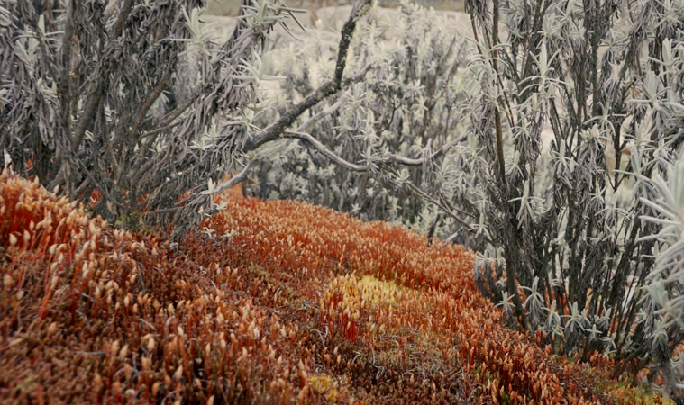
- Trails
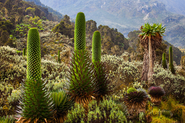
- Peaks
- Park Info
- Treks
- 3 Days Johnmaate Camp Trek
- 4 Days Trek to Mutinda Lookout
- 5 Days Mahoma Trail Trek
- 6 Day Hunwick’s Camp Trek
- 6 Day Rwenzori Weismann Trek
- 6 Days Kibale Chimpanzee & Rwenzori Trek
- 7 Days Rwenzori Trek and Gorilla Experience
- 8 Days Rwenzori Summit – Central Circuit Trail
- 9 Days Rwenzori Summit Trek – Kilembe Trail
- 12 Days All Peaks Rwenzori Trek
- 12 Days Rwenzori Summit & Gorilla Trekking Safari
- Uganda Safaris
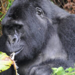
- 3 Days Bwindi Gorilla Trekking Safari
- 3 Days Queen Elizabeth Wildlife Safari
- 3 Days Murchison Falls Uganda Safari
- 3 Days Kibale Chimpanzee Tracking Safari
- 4 Days Kidepo Valley Wildlife Safari
- 5 Days Gorilla and Chimp Uganda Safari
- 5 Days Gorilla and Wildlife Uganda Safari
- 7 Days Ultimate Uganda Wildlife and Primate Safari
- 11 Days Complete Uganda Wildlife Safari
- 14 Days Magical Mother Nature Uganda Safari
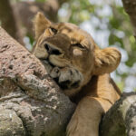
- National Parks